Felipe F
-
Posts
13022 -
Joined
-
Last visited
-
Days Won
149
Content Type
Profiles
Forums
Gallery
Calendar
Everything posted by Felipe F
-
Amara começa a se enfraquecer, já Bruce chega a categoria 5. Bruce
-
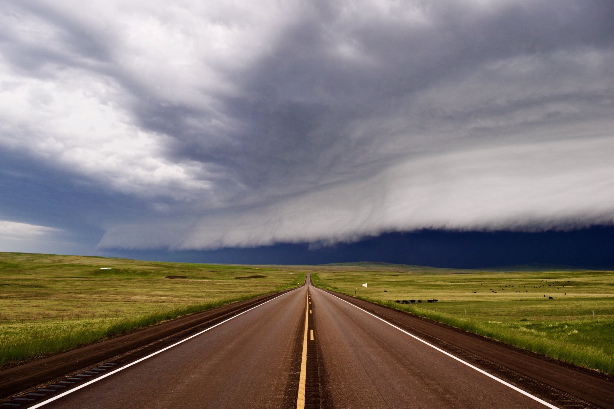
Primeiro Tornado Watch emitido: http://www.spc.noaa.gov/products/watch/ww0580.html
-
Hoje tivemos um tornado confirmado em Edwards, MS. Um tornado watch pode ser emitido nas próximas horas. http://www.spc.noaa.gov/products/md/md2090.html
-
Risco moderado amanhã para partes do Texas, Tennessee, Mississippi, Arkansas e Louisiana.
-
Bruce e um ciclone de categoria 3. A tempestade está entrando na região do sudoeste do Oceano Índico e o nome deve permanecer o mesmo. Amara e um ciclone de categoria 4 e pode afetar as Ilhas Rodrigues que tem uma população de 38 mil habitantes.
-
Em Patrocínio mínima de 18,3ºC e máxima de 28,2ºC. Choveu de forma isolada durante a tarde acumulando 5 mm em casa.
-
Uma nova erupção do Cumbre Vieja não deve demorar muito tempo, visto que o vulcão entra em erupção em média a cada 70 anos e a última foi em 1971. Em Patrocínio choveu durante a maior parte do dia, acumulando 63 mm em casa e 52 mm no INMET. A máxima ocorreu nos raros momentos em que o sol conseguiu aparecer, chegando em casa aos 23,3ºC e no INMET a 24,4ºC.
-
Já vi essa história... Parece que foi na época do Martim Afonso de Souza, por volta de 1550. Mas já vi opiniões (Bem mais recentes... :laugh: ) de estudiosos dizendo que pode ter sido simplesmente uma chuva "diluviana" (Daquelas que acontecem de tempos em tempos no litoral) com maré alta. Toda aquela parte plana de Santos, entre os morros e a praia, era um enorme brejo (Charco, banhado...) até início do século XX, quando começou a ser drenada, saneada e urbanizada, conforme projeto do lendário engº sanitarista Francisco Saturnino de Brito. A função daqueles canais de Santos, no início, era exatamente esta: drenar. Talvez não fosse mesmo difícil uma chuva torrencial, junto com maré alta, alagar aquilo tudo, naquela época. Uma perguntinha boba: um terremoto violento na divisa das placas, no meio do Atlântico, como o de Lisboa em 1755, poderia provocar um tsunami por aqui? :roll: O tsunami de São Vicente pode ter sido causado por um deslizamento de terra. Nem todos os terremotos fortes podem criar tsunamis. O principal fator é o terremoto ocorrer em zonas de subducção, onde uma placa é empurrada contra a outra (Placa Convergente). Há poucas zonas de subducção no Oceano Atlântico, a das Antilhas e das Ilhas Sandwich do Sul. Recentemente descobriram que uma nova zona de subducção está se formando próximo a Portugal. Até hoje não há certeza da origem exata do terremoto que destruiu Lisboa. O tsunami chegou a costa brasileira, porém provavelmente com ondas bem baixas.
-
Mínima de 5ºC e máxima de 8,3ºC. http://www.ogimet.com/cgi-bin/gsynres?ind=62366&ano=2013&mes=12&day=13&hora=18&min=0&ndays=30
-
Já choveu cerca de 106 mm nas últimas 6 horas na estação da Pampulha em BH.
-
Coldest temperature ever recorded on Earth in Antarctica: -94.7C: http://www.theguardian.com/world/2013/dec/10/coldest-temperature-recorded-earth-antarctica-guinness-book
-
Infelizmente não dá, pois já é um mapa pronto. :sad: 19h UTC
-
Em Patrocínio choveu 60 mm na última hora aqui em casa. A estação do INMET que fica a 6 km em linha reta daqui, saiu fora do ar. Como o Rodolfo já disse a previsão e de muita chuva para os próximos dias, aqui em Patrocínio o GFS prevê cerca de 280 mm entre quinta e sexta.
-
Uma nova tempestade de inverno (Dion) chegou ao oeste dos EUA. A tempestade deve cruzar todo o país até chegar ao nordeste dos EUA na segunda. 17h UTC
-
Below are selected top and notable snowfall amounts by state: Washington • 7" at Mission Ridge, near Wenatchee • 6" east of Chewelah in northeast Washington Oregon • 9.5" near Flora in northeast Oregon • 6" near Meacham and Bingham Springs, also in northeast Oregon Idaho • 30" at Saddle Mountain in east-central Idaho • 28.2" at Vienna Mine, 22 miles northwest of Ketchum • 15" near Lost Trail Pass Montana • 20" at Stuart Mountain near Missoula • 20" at Twin Lakes, Ravalli County (southwest Montana) • 19.4" near Red Lodge Wyoming • 30" at Blind Bull Summit in western Wyoming • 26" at Kendall Ranger Station in western Wyoming • 26" at Two Ocean Plateau in northwest Wyoming Utah • 18" at Alta and Deer Valley • 16" at Park City and Vernal • 10.5" at Provo Colorado • 30" at Douglas Pass along Highway 139 in northwest Colorado • 25" about 5 miles northwest of Gothic (west-central Colorado) • 24" at Grand Mesa New Mexico • 12" near Los Cerrillos • Up to 7" in Sandia Mountains near Albuquerque • 5" in Santa Fe North Dakota • 10" at Rhame • 9" near Carrington • 8" at Buffalo, near Fargo South Dakota • 12" at Hoover • 10.8" at Red Owl • 8" at Buffalo These top totals are all in western South Dakota. Nebraska • 15" in Cody • 14" near Kilgore, west of Valentine on U.S. 20 • 11" in Valentine Minnesota • 35.3" near Two Harbors • 23.3" at Duluth (Sixth highest three-day storm total on record, there.) • 18.5" in Cloquet The top totals are all in northeast Minnesota. Wisconsin • 33" in Oma near Michigan border south of Ironwood, Mich. • 21.1" in Herbster • 19.5" in Superior These top totals are all in northwest Wisconsin. Michigan • 7.5" near Paulding • 7" in Houghton • 4" in Cheboygan Texas • 3.5" sleet in Little Elm • 1-1.5" sleet/ice in Dallas-Ft. Worth • Carport collapse due to ice in Plano • 40-50 cars stranded on flyover near Cedar Park • 6" snow in Quanah Oklahoma • 6" in Colcord and Muldrow • 4.6" in Tulsa • 3.2" in Okla. City • 1" ice in Poteau, Hugo, Antlers Missouri • 11.5" in Dudley • 6" in Springfield and Cape Girardeau • 1.5" sleet in White Church Arkansas • 12" in Pea Ridge, Calico Rock, Mt. Sherman • 6" in Ft. Smith • 1.25" ice in Greenwood Mississippi • 0.1" ice accumulation on trees in Eudora • 0.1" ice bringing power lines down in Clarksdale Illinois • 14" in Chester • 13" in Mount Vernon • 1.5" sleet in Cobden • 0.5" ice in Valier Indiana • 11.4" near Bicknell • 10.8" in Washington • 10.1" near Bloomington • 4.3" in Indianapolis • 0.25" ice in Tell City Kentucky • 6.0" in Burlington • 3.5" in Louisville • 0.75" ice in Kevil (elevated surfaces) Tennessee • 1" sleet/ice in Obion • 0.1" ice accumulation in Germantown Ohio • 7" in Oxford • 5.6" at the Dayton International Airport - this sets a new daily snowfall record • 5.3" in Cincinnati - this sets a new daily snowfall record • 5.1" at the Port Columbus International Airport - this sets a new daily snowfall record • 0.50" ice in Chuckery West Virginia • 2" in Williamstown • .10" ice in Mount Storm Pennsylvania • 2.8" in Bridgeville New York • 2.5" in Halcott Center
-
@BigJoeBastardi The 55.5 % of US covered by snow on December is the most coverage this early since at least 2003
-
Below are selected top and notable snowfall amounts by state. Washington 7" at Mission Ridge, near Wenatchee 6" east of Chewelah in northeast Washington Oregon 9.5" near Flora in northeast Oregon 6" near Meacham and Bingham Springs, also in northeast Oregon Idaho 30" at Saddle Mountain in east-central Idaho 28.2" at Vienna Mine, 22 miles northwest of Ketchum 15" near Lost Trail Pass Montana 20" at Stuart Mountain near Missoula 20" at Twin Lakes, Ravalli County (southwest Montana) 19.4" near Red Lodge Wyoming 30" at Blind Bull Summit in western Wyoming 26" at Kendall Ranger Station in western Wyoming 26" at Two Ocean Plateau in northwest Wyoming Utah 18" at Alta and Deer Valley 16" at Park City and Vernal 10.5" at Provo Colorado 30" at Douglas Pass along Highway 139 in northwest Colorado 25" about 5 miles northwest of Gothic (west-central Colorado) 24" at Grand Mesa New Mexico 5" in Santa Fe 2-3" east and northeast of Albuquerque North Dakota 10" at Rhame 9" near Carrington 8" at Buffalo, near Fargo South Dakota 12" at Hoover 10.8" at Red Owl 8" at Buffalo Nebraska 15" in Cody 14" near Kilgore, west of Valentine on U.S. 20 11" in Valentine Minnesota 35.3" near Two Harbors 28.6" at Duluth Heights 18.5" in Cloquet Wisconsin 33" in Oma near Michigan border south of Ironwood, Mich. 18" at Poplar 15.5" at Ashland Michigan 7" near Calumet and Silver City 6" in Hancock 4" in Cheboygan Missouri 5" in Galena 4" measured in Mansfield 3" in Blackwell Arkansas 6" in Centerton 4" in Siloam Springs 1" in Fayetteville Illinois 3.3" in Red Bud 3" in Mount Vernon 2.5" in Chester Indiana 6.7" in Randolph 2.0" in Brazil 1.0" near Terre Haute The Weather Channel
-
12h UTC
-
Em Patrocínio a mínima hoje foi de 16,6ºC. Agora faz 28ºC e a umidade e de 60%.
-
Manhã chuvosa aqui em Patrocínio, até o momento choveu 40 mm em casa e 30 mm no Inmet. Em Catalão/GO choveu 116,6 mm nas últimas 8 horas.