
Felipe F
-
Posts
13535 -
Joined
-
Last visited
-
Days Won
154
Content Type
Profiles
Forums
Gallery
Calendar
Everything posted by Felipe F
-
-
-
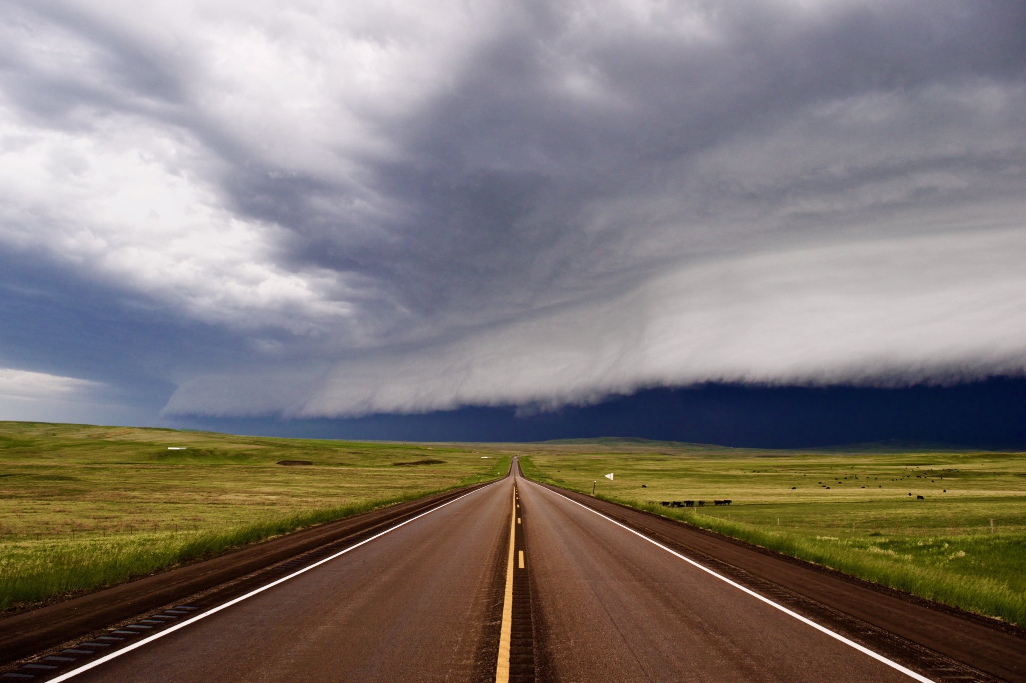
EMERGENCIA POR TORNADO!
-
Tornado confirmado na área: At 932pm CDT, a confirmed large and extremely dangerous tornado was located 10 miles southeast of Mullinville, moving northeast at 35 mph. Locations in this storms path is Greensburg. Those in or near the Greensburg area should seek shelter immediately!
-
Região com foco de tornado na próxima hora
-
Até momento 25 tornados reportados, com danos bem graves no Kansas. Expectativa do risco de tornado seguir nas próximas horas entre NE, OK, KS e TX.
-
Possível tornado indo para região metropolitana de Dallas, TX
-
Devastou a cidade: https://x.com/NickKrasz_Wx/status/1924271570094068102 Danos EF3+ na região
-
Alguns danos na cidade de Grinnell
-
Tornado no Texas envolto em chuva: https://x.com/i/status/1924255046645993815 Pode ser uma ameaça para RM de Dallas.
-
Tornado forte perto de atingir cidade no Kansas
-
Tornado no Kansas ainda forte
-
Texas com tornado tbm
-
-
Grande tornado no Kansas
-
Quase EF5 no Illinois
-
Tornado confirmado em OK
-
Principal evento nas planícies começa amanhã. Pode ser o melhor evento na região desde 2016.
-
Hoje risco de tornados maior entre TX e OK. Essa célula ao sul de OKC tem bons parâmetros para causar um tornado forte.
-
Tornado em St Louis ficou em EF3 e deixou 5 mortos. Outro tornado no Missouri ficou em EF3 e duas mortes. Illinois confirmou uma morte e o tornado no Kentucky deixou 24 mortos. Temos boas chances destes dois tornados irem em EF4.
-
Número de mortos no Kentucky já chega em 14.
-
https://x.com/i/status/1923589980493930723 Tornado deve passar em Manchester. KY e depois seguir áreas bem rurais.
-
Tornado segue e pode pegar mais uma cidade.
