
edsr97
-
Posts
1193 -
Joined
-
Last visited
-
Days Won
8
Content Type
Profiles
Forums
Gallery
Calendar
Everything posted by edsr97
-
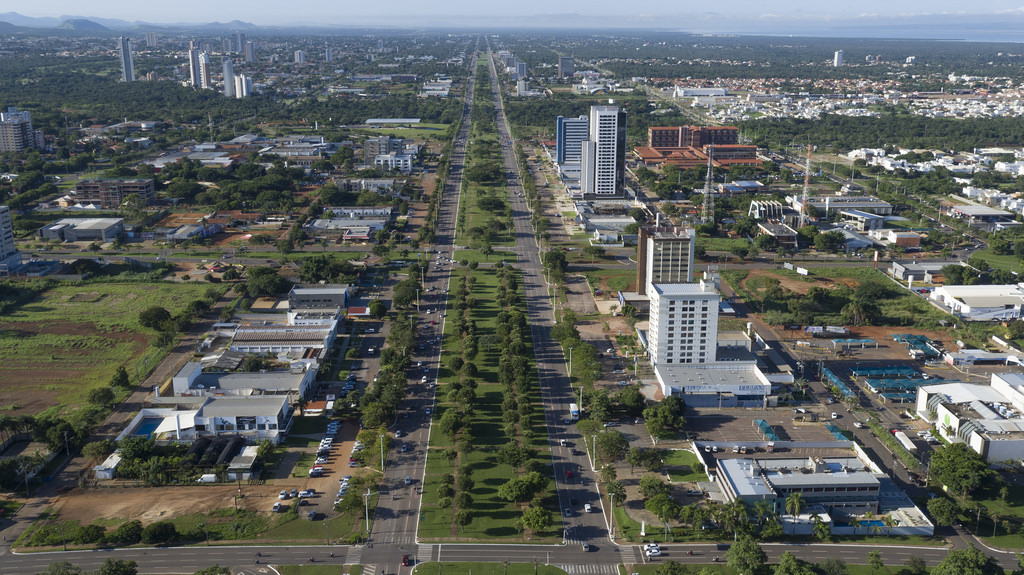
 Palmas - 16h INMET Automática: 39ºC - 11% UR Aeroporto: 39ºC - 9% UR Estado de Emergência Edit: Matéria na Climatempo http://www.climatempo.com.br/noticia/2015/09/16/emergencia-por-umidade-de-9-em-palmas-to--6919
 -
Palmas as 14h 39°C - 16% UR Rajadas de 33,2 km/h.. Retiro o que disse mais cedo sobre o vento amenizar o calor. Hoje está terrível. O vento vem com um ar muito seco e quente!
-
Automáticas INMET 12h Cuiabá: 37,4°C - 25% UR Palmas: 37,1°C - 21% UR Teresina: 36,2°C - 27% UR
-
NADA QUE NÃO POSSA PIORAR! :sarcastic: INCRÍVEL!! WOW 43ºC! As máximas de São Paulo crescem a cada rodada :sarcastic:
-
Palmas amanheceu com cenário idêntico ao de Julho.. Muito vento, ar seco que ameniza o calor mas enche a cidade de poeira e fuligem das queimadas. Automática INMET - 09h 30,8ºC - 33% UR - Rajadas 57,6 km/h
-
Palmas 15/ Setembro 39,5°C Inmet Convencional
-
Palmas 14/ Setembro 31,6°C Foi o dia mais agradável em meses trouxe um renovo para o ar da região pareceu até os meses de janeiro/ fevereiro . Mas ainda estamos em Setembro e prontos para a próxima onda de calor :ok:
-
A estação automática registrou 10,4 mm de chuva. Com isso já temos 50,7 mm no mês ou quase três vezes mais a média histórica do mês de setembro. As temperaturas despencaram... Saímos dos 38,5 de ontem para 27,5°C agora as 14h. Clima muito agradável, nublado e o ar úmido sem o sufocante cheiro de fumaça das queimadas!
-
Chuva em Palmas com trovoadas! :clapping: :good2:
-
Estou ansioso pela primavera :sarcastic: Nunca tivemos tantas temperaturas acima de 40ºC tão cedo. Geralmente segunda quinzena de setembro e durante outubro que elas pipocam..Quase certo que este ano será o com maior número de temperaturas acima dos 40 aqui para PMW.. Para Manaus, 2015 já deixou sua marca na história..sinto que virão mais até o fim do ano
-
Palmas - 13/ Setembro 38,5ºC Média de Máximas Setembro 2015 (Até o momento): 39,30ºC (+4,3ºC)
-
Amanhã deve ser nossa última chance de chuva em vários dias pela frente... Pelo menos o calorão de 40ºC vai dar uma acalmada e só deve aparecer pelo fim de semana.. Mas MT, MS vão ferver!
-
O recorde absoluto atual é 38,3ºC de 30/09/2010. Acho que de hoje não escapa! Fonte: BDMEP - INMET
-
Palmas - 12/ Setembro 40,3°C - Estação Convencional INMET
-
Palmas - 18 UTC Automática [glow=red]39,9°C[/glow]
-
O dia começou animado por aqui: 32,9ºC ás 09 AM Aquecendo os motores para o fim de semana. GFS 06Z veio mais intenso que o 18z que coloquei ontem :russian:
-
Se 12/09 se cumprir será o recorde absoluto de Manaus. O atual é 38,3°C
-
O GFS 18Z está projetando um final de semana escaldante capaz de dar pesadelos em muita gente. O pico do calor será no sábado, se este cenário se confirmar Palmas, Porto Velho, Manaus além de inúmeras cidades do interior terão recordes de calor. Com inúmeros pontos espalhados por MT, PA, AM,TO, GO, RO, PI, BA que excedem 43ºC. Tem até alguns pontos expressivos no Nordeste, especialmente no Piauí e Bahia Abs,
-
INMET Automáticas- 19 UTC Teresina - 38,6ºC - UR: 18% Palmas - 38,5ºC - UR: 20% Cuiabá - 37,2ºC - UR: 27%
-
EL NIÑO/SOUTHERN OSCILLATION (ENSO) DIAGNOSTIC DISCUSSION 10 September 2015 During August, sea surface temperature (SST) anomalies were near or greater than +2.0oC across the eastern half of the tropical Pacific (Fig. 1). SST anomalies increased in the Niño-3.4 and Niño 3-regions, were approximately unchanged in the Niño-4 region, and decreased in the Niño-1+2 region (Fig. 2). Large positive subsurface temperature anomalies persisted in the central and east-central equatorial Pacific during the month (Fig. 3), with the largest departures exceeding 6oC (Fig. 4). The atmosphere remained coupled to the anomalous oceanic warmth, with significant low-level westerly wind anomalies and upper-level easterly wind anomalies persisting from the western to east-central tropical Pacific. Also, the traditional and equatorial Southern Oscillation Index (SOI) were again negative, consistent with enhanced convection over the central and eastern equatorial Pacific and suppressed convection over Indonesia (Fig. 5). Collectively, these atmospheric and oceanic anomalies reflect a strong El Niño. All models surveyed predict El Niño to continue into the Northern Hemisphere spring 2016, and all multi-model averages predict a peak in late fall/early winter (3-month values of the Niño-3.4 index of +1.5oC or greater; Fig. 6). The forecaster consensus unanimously favors a strong El Niño, with peak 3-month SST departures in the Niño 3.4 region near or exceeding +2.0oC. Overall, there is an approximately 95% chance that El Niño will continue through Northern Hemisphere winter 2015-16, gradually weakening through spring 2016 (click CPC/IRI consensus forecast for the chance of each outcome for each 3-month period). http://www.cpc.ncep.noaa.gov/products/analysis_monitoring/enso_advisory/ensodisc.html
-
Convencional INMET --09/ Setembro Palmas fechou o dia com 39,6ºC . A tarde foi bem quente e o calorzinho entrou noite a dentro. A concessionária de energia deixou um presente hoje aqui, a mais cara conta de luz que já havia pago, culpa principalmente do ar condicionado, pois todas as noites tem que estar ligado. Não é luxo, é necessidade. 22h o aeroporto registrou 28ºC.
-
Aqui em Palmas 36,1ºC (15 UTC) e UR em 32% Hoje parece que retornaremos para os 39- 40ºC e amanhã a expectativa é de que volte a chover. :good: Sobre chuva, a que apareceu aqui no domingo (40,3 mm) corresponde a mais que o dobro do esperado para todo o mês de setembro :sarcastic:
-
Convencionais INMET - 08/ Setembro Cuiabá: 38,8ºC Teresina: 38ºC Palmas: 37,4ºC Manaus: 36,7ºC Goiânia: 36ºC Aqui em Palmas, o dia foi de céu limpo com poucas e pequenas nuvens. Depois do calorão da semana passada, esta está mais tranquila. A previsão para amanhã é semelhante a hoje, um pouco mais quente..
-
Em Palmas 31,6°C e 40% UR, céu limpo e pouco vento.. Belo dia para uma faxina..aqui ainda é feriado. Bom dia a todos!
-
Se o GFS acertar... Aqui no norte teremos recordes para todo lado e de quebra seremos assados vivos! :sarcastic: Áreas do sudoeste do tocantins serão palco de 45ºC! Quão absurdo pode ser este modelo? Quão realista?